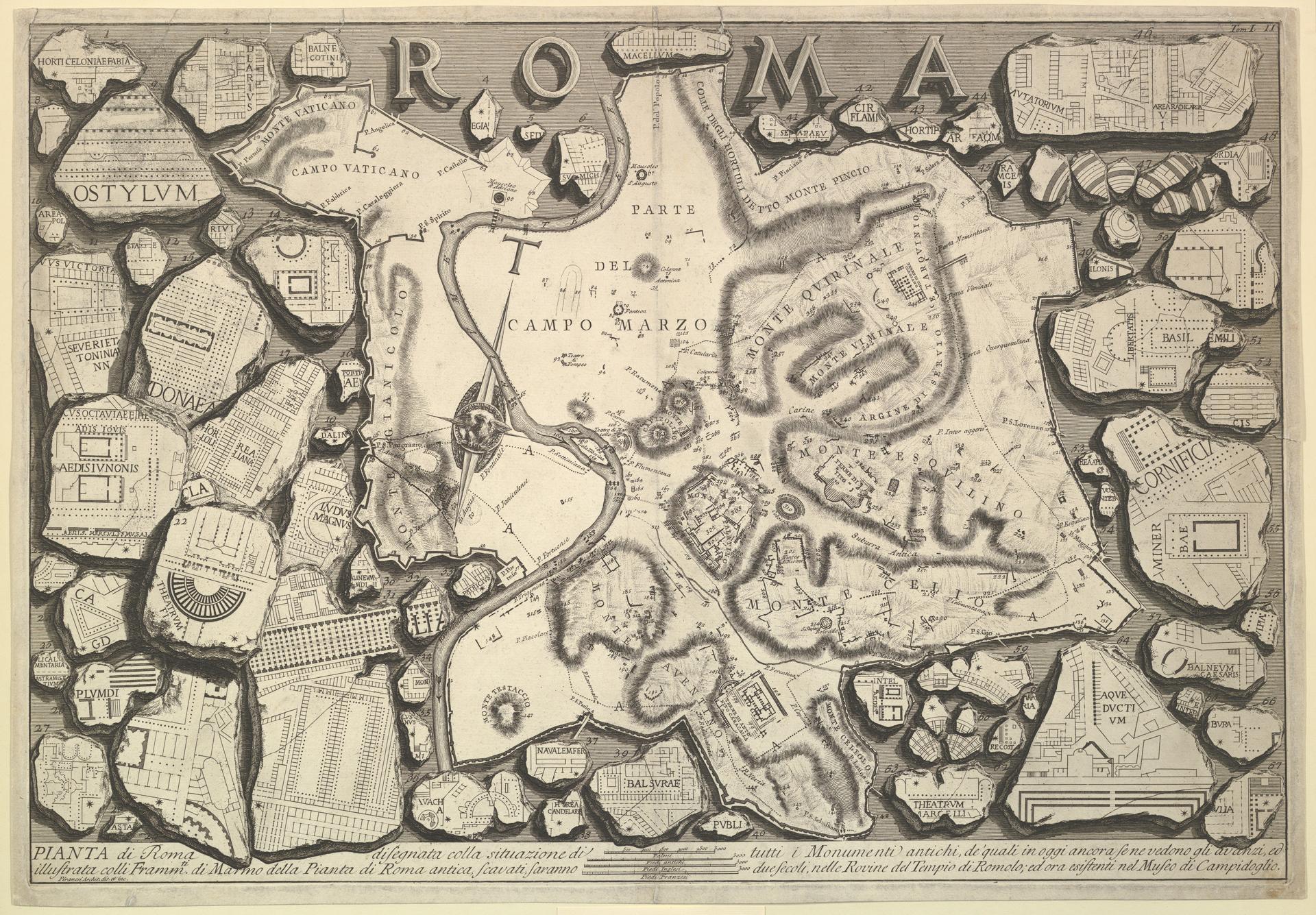
Plan of Rome, from "Le Antichità Romane"
Original title: Plan of Rome..., from "Le Antichità Romane" (Roman Antiquities)
kurzbeschreibung
Giovanni Battista Piranesi made this plan of Rome around 1756 as an etching for his series 'Le Antichità Romane'. The sheet maps the ancient city area with its hills and important sites, and the labels are in Latin.
Description
Seen from above, the city area of Rome appears with many topographical entries such as 'Campus Martius' and 'Mons Palatinus', written in Latin. The seven hills and other historic buildings are rendered with thin lines and small symbols. The dense detail gives a far-reaching overview of the ancient city.
Context
This print belongs to Piranesi's four-volume publication 'Le Antichità Romane', which came out in Rome in 1756 and 1757. In it he documented the ancient monuments and the topographical conditions of Rome, driven by archaeological and antiquarian interest. Piranesi's combination of precise observation and idealizing portrayal of Rome's ancient grandeur shapes the work.
Impact
The plan creates a scholarly yet aesthetic impression of the ancient city. The tight labeling and delicate linework evoke a mood of erudition and historical depth. The viewer is encouraged to embark on a journey of discovery through ancient Rome.
Technique
The etching is made by engraving the drawing into a copper plate and biting it with acid. Piranesi's approach is characterized by thin lines and exact reproduction of topographical details. The sheet was printed on paper and measures about 48.5 x 69.5 cm.
AI-generated description text
Source: Metropolitan Museum of Art · Public Domain (CC0 1.0)