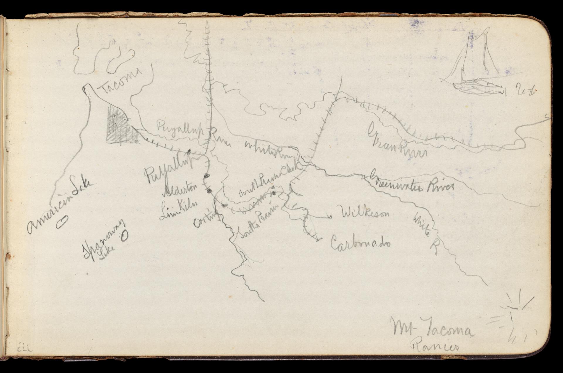
Map of Region Northwest of Mount Tacoma (from Sketchbook)
Original title: Map of Region Northwest of Mount Tacoma (from Sketchbook)
kurzbeschreibung
This 1890 sheet stands apart from Bierstadt's finished landscape paintings: a hand-drawn map of the area northwest of Mount Tacoma, executed in graphite on wove paper. It records rivers and places such as Puget Sound, the Puyallup River, and Carbonado. The drawing comes from a sketchbook.
Description
On white paper, a map unfolds with simple, hand-drawn lines. Numerous places and waterways are labeled, including Tacoma, Puget Sound, Puyallup River, Carbonado, Wilkeson, White River, and Greenwater River. In the upper right, indeterminate shapes and lines appear, likely part of the sketchbook. The layout is clear, and the labels are easy to read.
Context
Bierstadt, best known for his large-scale landscape paintings of the American West, drew this map in 1890. Mount Tacoma, now called Mount Rainier, appears frequently in his later work. The sheet probably served as a topographical note for a planned or undertaken trip to the region; during the 1880s and 1890s the artist visited the Pacific Northwest several times.
Impact
What distinguishes this sheet from Bierstadt's romantic paintings is its sober, documentary clarity. The spare linework and precise labels feel factual, almost scientific. At the same time, it reveals the artist's personal view of the region's topography.
Technique
The drawing is in graphite on wove paper, a smooth, even paper that allows fine lines. It was set down with a few precise strokes, without shading or color accents. At 12.1 x 19.7 cm, the sheet matches a standard sketchbook format.
AI-generated description text
Source: Metropolitan Museum of Art · Public Domain (CC0 1.0)