Geographical and Geological Notes on Skagit County, Washington (from Sketchbook)
Original title: Geographical and Geological Notes on Skagit County, Washington (from Sketchbook)
kurzbeschreibung
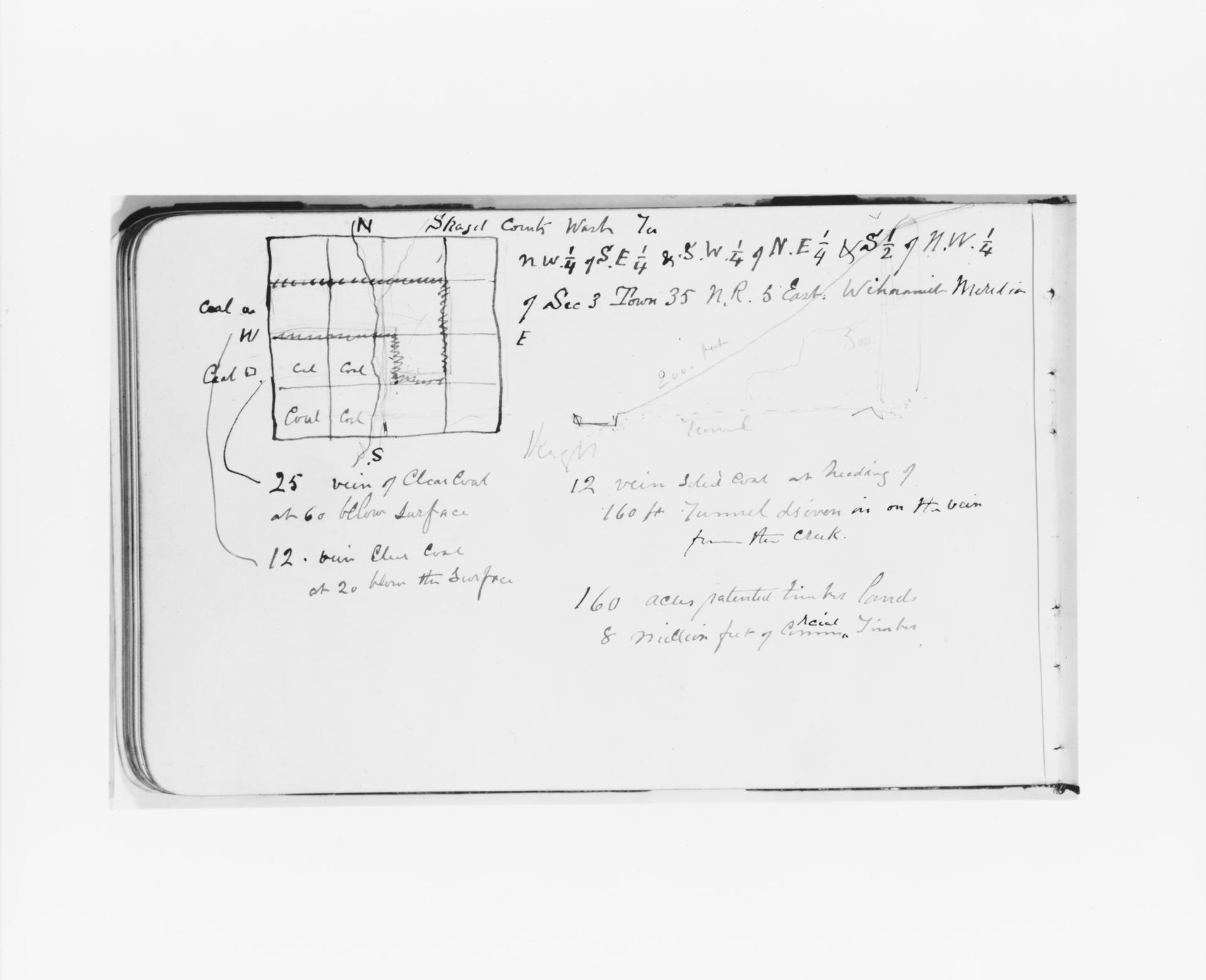
In 1890 Albert Bierstadt drew a graphite sketch on wove paper showing a hand-drawn map with geological notes. The sheet comes from a sketchbook and measures 12.1 x 19.7 cm.
Description
A square map occupies the center of the sheet, surrounded by handwritten notes and numbers. Lines within the map enclose a rectangular area that can be read as a structure or a cutaway. Annotations such as 'Coal,' 'Coal Cut,' '25' vein of Clear Coal at 60 below surface,' and '12' vein Clear Coal at 20 below the surface' are legible. The style remains plain and handwritten; white paper and graphite define the image, with no color or lighting effects.
Context
Bierstadt, best known for his landscape paintings of the American West, was in Washington in 1890 and made this sketch there. Skagit County was then an area with coal deposits that were important for economic development. The notes probably document explorations during a trip on which Bierstadt recorded geological observations for possible artistic or scientific purposes.
Impact
The sheet presents itself as factual and documentary, without artistic embellishment. The precise notes and the clear map structure reveal Bierstadt's interest in the natural surroundings and his meticulous powers of observation.
Technique
Graphite on wove paper—a smooth, even paper that allows fine lines—forms the base. Free handwriting and cartographic lines are combined; varying pressure emphasizes text and structure.
AI-generated description text
Source: Metropolitan Museum of Art · Public Domain (CC0 1.0)