In Claudii Ptolemaei Geographicae Enarrationis Libri octo
Original title: In Claudii Ptolemaei Geographiacae Enarrationis Libri octo.
kurzbeschreibung
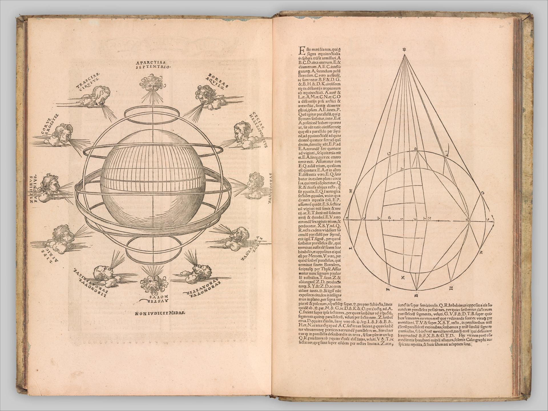
In 1525, this edition of Claudius Ptolemy's Geographia appeared as a printed book, its woodcuts bringing the earth and its projections before the reader's eyes.
Description
On the open double-page spread, a woodcut of the globe appears on the left, surrounded by rings and schematically indicated clouds. On the right is a geometrically constructed sphere with drawn lines. Both motifs remain monochrome and follow the typical formal language of woodcut. Latin passages frame the illustrations. The paper bears clear signs of age.
Context
The Geographia was written in the 2nd century, but only became known again in Western Europe in the 15th century. The 1525 edition falls into a phase of lively geographical exploration and discovery. Because printing with woodcuts allowed relatively inexpensive reproduction, the work could spread widely.
Impact
The sober cuts create a scientific tone. The maps appear plain yet precise, making it clear what importance they held for readers of the time.
Technique
The illustrations were produced using the woodcut technique, which was well suited to reproducing maps. The book is bound in a format of about 41 x 27 centimeters, as was customary for scientific publications of the Renaissance.
AI-generated description text
Source: Metropolitan Museum of Art · Public Domain (CC0 1.0)